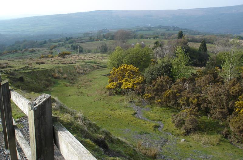
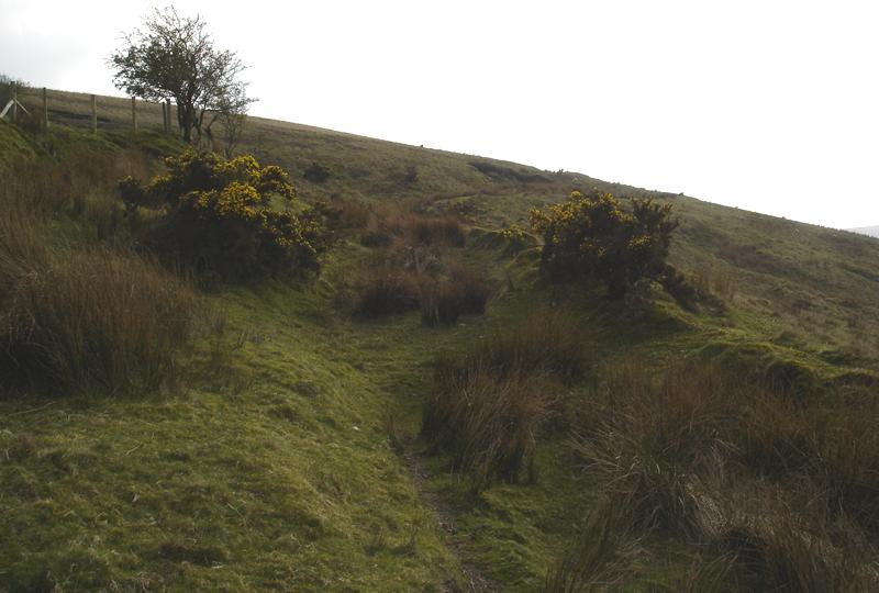
Some Captured History of Glanamman and GarnantEarly Roads into CwmammanBefore Cwmamman became industrialised, it was a rural community, with a few farmsteads dotted throughout the valley. The main road c.1800 went along the north side of the valley, connecting Llandeilo and Brynamman (Then known as Gwter Fawr). When the now remotely situated Hên Bethel Chapel was built, it was on a primary road into Cwmamman! Branch roads came from this main road, where travellers heading from Llandeilo, via Llandyfan could travel down through the valley to join Heol Horney (Folland Road) near where the hospital now stands or past the front gates of Hên Bethel and down Heol Felyn. Other throughfares from Llandyfan brought the traveller past landmarks such as the the Angel Inn (Mountain Road) or Travellers Well (Nantyglyn Road), then across the ford of the River Amman and past the Kings Head pub at Penpownd, Glanamman. The road then continued upwards towards the Betws Mountain where the road again branched into two; one leading to Neath and the other to Swansea. Part of this road is now known as Grenig Road, but in days gone by, it was known as "Heol Arw Unig" (Possibly translating as: "Lonely rough road"), due to it's remoteness.
At the beginning of the 19th century, it is estimated that there were approximately only 40 households in the Cwmamman area. A turnpike road (for which the traveller was charged a Toll), was built from Llandeilo and opened in 1817. The new road passed "The Cross Inn" (Now known as Ammanford Town), and headed along the Amman Valley as far as the Raven Hotel in Cwmamman; now the village of Garnant. A toll house was once sited at the Cross Key's pub at Glanamman and because of this, Glanamman Square was once known as "Sgwar y Gat", (Gate Square). The turnpike road was later extended as far as Gwaun-cae-gurwen and Cwmgorse and reached Pontardawe by 1836. The District Roads Boards published Statements of their Receipts and Expenditures in the Carmarthen Journal. In 1873, the turnpike road through Cwmamman came under the Llandovery District and this consisted of 10.6 miles of road between Llandilo and Neath. The following expenses were incurred for the upkeep of the road:
In 1819, Mr John Jones of Brynbrain built the road from Brynamman to Llangadog via "Tro'r Gwcw". The road was later extended from Brynamman and reached Gwaun-cae-gurwen in 1824. George Borrow, the well known author of travelogues, walked the road as far as the Farmers Arms, (now Brynamman RFC) in the mid 19th Century and retold the story of his journey in "Wild Wales", which was published in 1862. Before the Llanelly Dock Company opened the railway line to Cwmamman in 1840, the only way that coal could be taken from Amman Valley was by horse and cart. In 1880, Mr J. James of Ammanford set up a business with horse drawn traps and brakes, to carry passengers and goods around the locality. Mr James was known locally as "James yr Halen." The information on this page was taken from a document written for the Amman Valley Historical Society. The Authors name was not given on the document. Other sources include The Carmarthen Journal and Wild Wales, by George Borrow. |

